
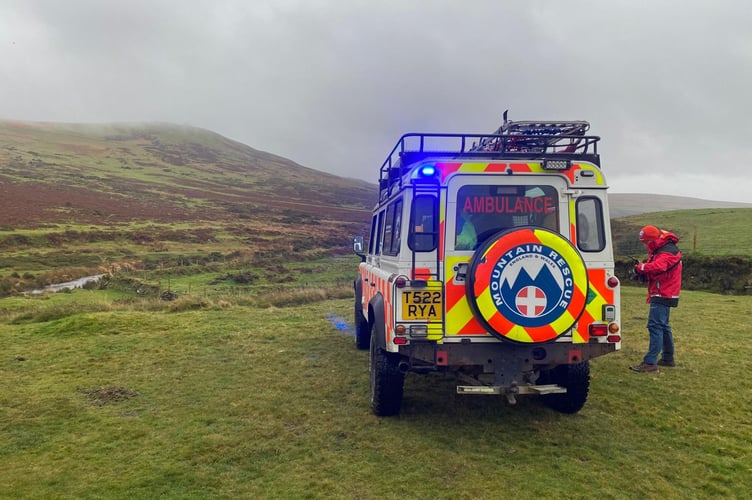
North Dartmoor Search and Rescue Team has urged hikers not to place total reliance on mobile phones to navigate the moors as social media and map apps are blamed for a national rise in rescue callouts.
According to The Guardian, Mountain Rescue England and Wales attended 3,842 callouts in 2024, which has jumped by 24 per cent since 2019.
Hikers aged between 18 and 24 were the most in need of mountain rescues, which the Okehampton-based organisation has put down to younger people relying less on paper maps and more on apps that lack detail or do not work offline.


On Facebook North Dartmoor Search and Rescue Team said: “Using your mobile phone to navigate is going nowhere; it has a lot of advantages and disadvantages. Paper maps and compasses also have a lot of advantages and disadvantages too. The answer is education and not being reliant on one source. Also, packing a power bank and the correct charging cables can be a great help.”
Despite digital navigation being faster and easier to understand it requires signal, battery life drains quickly and hikers can be led down routes that are unsafe or do not exist.
“We, as a team, have experienced many times where digital navigation has gone wrong, but we have also experienced a lot of times where digital navigation, the fast-thinking of the casualty and the use of a mobile phone have helped us pinpoint the location to a few metres. This has saved a lot of stress on the casualty or lost persons and rescue hours.”
The volunteer-run group recommend Ordnance Survey OS Maps to navigate on a phone as it provides digital maps which can be accessed with no service.
They urge hikers to do their research before going out, telling a friend or family member their plans and timings, packing a paper map and compass and downloading the route on a phone beforehand.
Comments
This article has no comments yet. Be the first to leave a comment.